 News
NewsNASA satellite network launches to track El Niño and hurricanes
NASA launched a new satellite to track ocean levels. It flies right behind an older twin in orbit. Better data means shipping and coastal businesses get storm warnings faster.
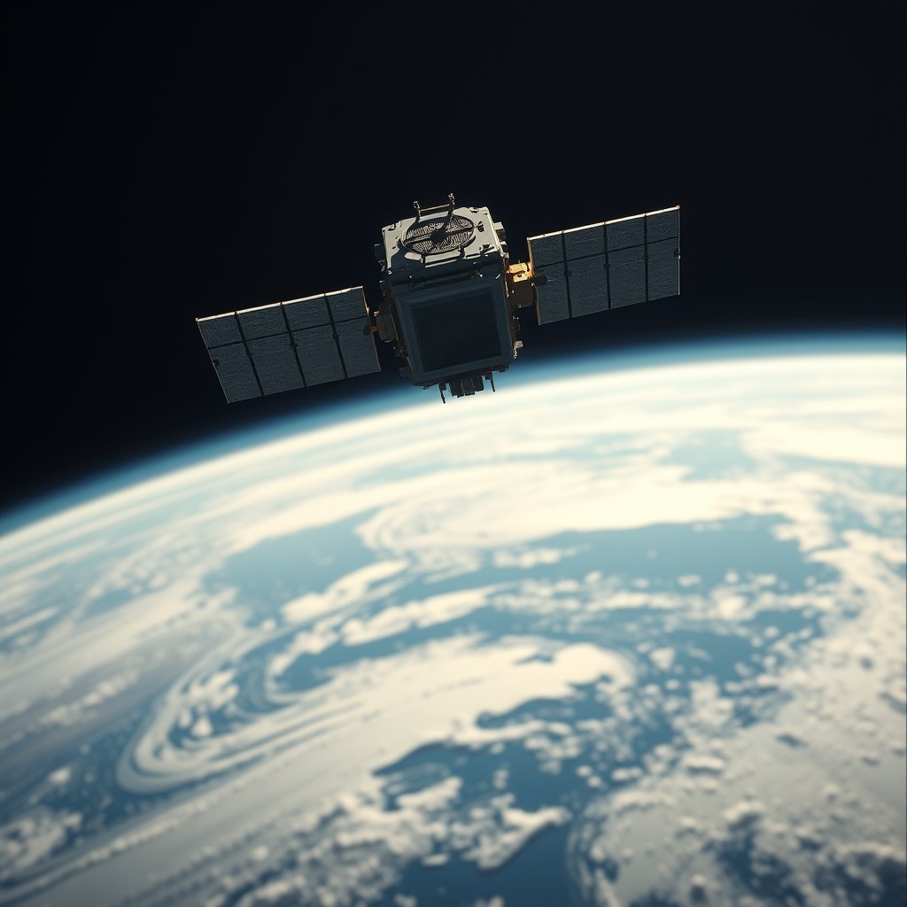
Look up at the sky if you ship goods across the water or run a business on the coast. NASA and its European partners just put the Sentinel-6B satellite into orbit to sharpen hurricane forecasts and protect infrastructure, according to NASA’s Jet Propulsion Laboratory at the California Institute of Technology. The new craft is flying 30 seconds behind its predecessor, the Sentinel-6 Michael Freilich satellite. Together, they provide precise sea level height measurements during a historic El Niño. Ocean height tells scientists about the ocean heat content. Because warm water expands, that data helps forecast how fast hurricanes will grow before they hit land. Each satellite uses a radar altimeter that bounces thousands of radar pulses a second off the crests and troughs of waves to measure ocean height, wave size, and marine wind speed. They also carry a second instrument called the Global Navigation Satellite System - Radio Occultation, which measures atmospheric humidity, pressure, and temperature. For your business, better storm tracks mean your freight trucks, shipping containers, and coastal storefronts get warnings days earlier instead of hours. When the ocean warms up, you need to know before the docks flood. That is why NASA is counting waves from space.